
Flood Zone Determination Reports
Get a pinpoint accurate, certified and insured MyFloodStatus
Why MyFloodStatus?

Superior Accuracy, Structure-Based
Having precise data on structure and flood zone locations is key to knowing your true flood status. Flood Insurance is required on a federally-backed loan for any structure that touches a Special Flood Hazard Area (SFHA), according to NFIP Guidelines.

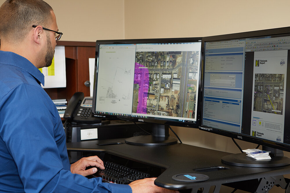
Detailed Visual Verification Maps
You need and deserve greater clarity than “In” vs. “Out”. We surpass industry standards by delivering precise, accurate mapping detail of a structure’s location based on FEMA’s current, effective FIRM map, and Preliminary FIRM if existing.

Backed With Protection And Support
Every MyFloodStatus Flood Zone Certificate is insured with $3M E&O insurance, and support from our expert team is included. We are here to explain report findings and provide expert guidance in any next steps or mitigation efforts.

Sign Up for GOLD
Exclusively for Real Estate Agents.
Our GOLD Membership is a subscription-style program that delivers convenience and big savings to Real Estate Professionals.
Resources

How to Challenge Your Flood Status in 3 Easy Steps
The path to clarity and confidence is simple; it all starts with ordering a MyFloodStatus Flood Zone Determination Report.
See It To Believe It
MyFloodStatus Flood Zone Determination Reports show structure location in relation to Flood Zones with pinpoint accuracy. See how this detail delivers deal-saving clarity early in the home buying or selling process.
“I wanted to let you know how valuable your reports are. They’re an essential tool for both home sellers and buyers.”
— Pamela M., Coldwell Banker Residential Brokerage
Frequently Asked Questions
What is a flood determination report?
A flood determination, often referred to as a flood certificate, provides information about a specific property or structure with relation to flood zones, including Special Flood Hazard Areas. The primary document in a flood report is the Standard Flood Hazard Determinatioin Form, or SFHDF. Our reports to deliver superior precision and clarity, visual verification maps that show you where the flood zones are compared to your property boundary or structures, and unparalleled support.
Can I use a flood determination to challenge my current flood status?
Yes. In fact, thousands of properties nationwide have been previously mis-identified. Moreover, new FEMA maps are being released each year which can render old determinations useless. A MyFloodStatus flood determination report will confirm the true flood status of any property, and include both a current and preliminary map. Our experts can advise on opportunities to challenge your current flood status by securing an Elevation Certifiicate or a Letter of Map Amendment.
Can you help remove a mandatory flood insurance requirement?
This process always starts by ordering a flood zone determination report to confirm if your structure is within a Special Flood Hazard Area, or has the potential to be removed by ordering an Elevation Certificate or Letter of Map Amendment. Our experts can then consult, advise and guide you through the process.
Are your flood determination reports insured?
Yes, each MyFloodStatus flood zone determination report is backed with $3,000,000 Errors & Omission insurance.
If a high-risk zone touches my property, but not my home, do I need flood insurance?
National Flood Insurance Program (NFIP) guidelines only refer to the structure location in relation to the high-risk zone. If your property touches a high-risk zone, but your structure does not, flood insurance is not required under NFIP. This is why the precision of our reports is so important.
Why are MyFloodStatus flood determinations better than other available resources?
We offer a particularly exceptional and accurate report, thanks to superior technology, mapping assets and expert analysis that has raised the bar in the industry. Our reports are pinpoint accurate, certified and insured, complete with visual verification maps utilizing both current FEMA maps as well as preliminary maps.
Are you using the new maps for your flood determination reports?
The idea of “new” vs. “old” maps is a misconception. There are current maps, called “effective” maps that we use for our determinations. Then there are “preliminary” maps designed to give a glimpse at the future, but not to be used as the basis for an official flood determination.
Can you help me understand my report and my options?
Aboslutely. We pride ourselves on offering detailed personalized service that you won’t find at any “big box” flood providers. Our trained experts are here to examine your reports personally, advise and guide you on any opportunities we see to challenge your flood status.
