What Is LAG (Lowest Adjacent Grade) and Why Does It Matter?

When it comes to flood zones and flood insurance, most people have heard of BFE (Base Flood Elevation). But another, often less understood term is just as important in determining whether a property is truly at risk: LAG, or Lowest Adjacent Grade.
If you’re a real estate agent, homeowner, buyer, or seller, knowing what LAG is—and how it affects insurance and property value—can help you make smarter decisions in transactions and long-term planning.
What Is LAG?
LAG (Lowest Adjacent Grade) refers to the lowest point of ground level immediately next to a building’s foundation. Unlike BFE, which is a general estimate of flood elevation for an area, LAG is specific to each structure.
In other words, while BFE tells you how high floodwaters are expected to rise in a neighborhood or zone, LAG shows you the exact point on a property where the land around a building is lowest. Together, these measurements reveal whether water from a base flood could reach or exceed the level of a home or building.
Why LAG Matters in Real Estate
For homeowners, buyers, and sellers, LAG isn’t just a technical detail—it directly impacts insurance requirements, property values, and even closing timelines. Here’s how:
1. Flood Insurance Requirements
Mortgage lenders often require Elevation Certificates (ECs) to confirm a property’s flood risk. One of the key factors in these certificates is the comparison between the LAG and the BFE.
If the LAG is below the BFE, the property is considered at higher risk, which often means mandatory flood insurance.
If the LAG is above the BFE, the property may be eligible for reduced premiums—or, in some cases, for removal from high-risk flood zone designation altogether.
2. Property Value and Marketability
Buyers are increasingly savvy about flood risk. A home with a LAG above BFE can be seen as less risky and more affordable in terms of insurance, making it more appealing. For sellers, this can be a valuable selling point. For agents, it’s an opportunity to build trust by explaining the facts clearly.
3. LOMA Requests
If a property appears to be incorrectly mapped into a flood zone, the owner can request a Letter of Map Amendment (LOMA) from FEMA. To be successful, you’ll need to show that the LAG is above the BFE, proving the home is safer than the flood maps suggest.

LAG vs. BFE: The Key Difference
It’s easy to confuse these two terms, but the difference is critical:
BFE (Base Flood Elevation): A general benchmark of how high water is expected to rise in a base flood, usually based on area-wide studies.
LAG (Lowest Adjacent Grade): The actual lowest ground point next to a specific structure.
Think of it this way: BFE is the neighborhood-wide prediction, while LAG is the property-specific measurement. Both are needed to understand a home’s true flood risk.
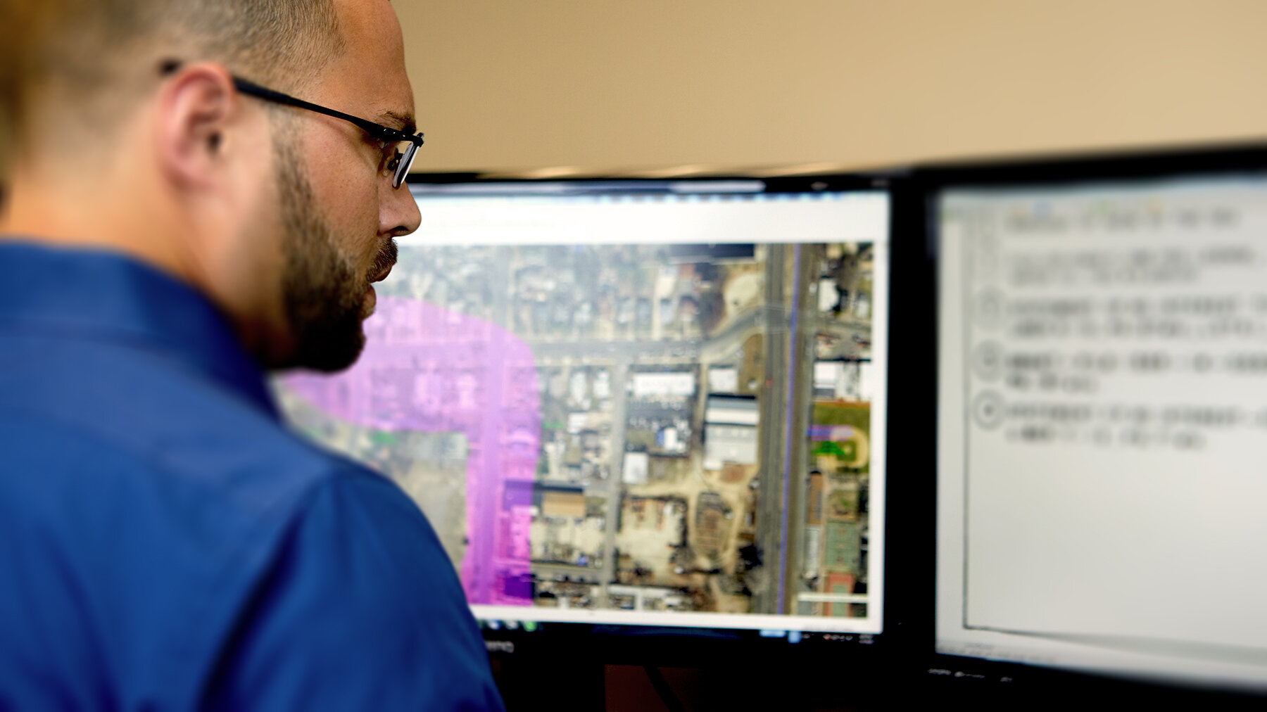
How Do You Find the LAG?
To determine the LAG, a licensed surveyor or engineer conducts precise elevation measurements as part of an Elevation Certificate. This document:
Identifies the property’s LAG, lowest floor elevation, and other critical details.
Provides the data insurers and lenders use to assess risk.
Can support a request to change a property’s flood zone status with FEMA.
For real estate agents, having an Elevation Certificate in hand during a transaction can answer buyers’ questions, help sellers avoid delays, and reduce surprises at closing.
How MyFloodStatus Helps with LAG and Elevation Certificates
LAG may not be a household term, but for anyone involved in real estate or property ownership near flood zones, it’s one of the most important numbers to know. It’s the bridge between generalized flood maps and the specific reality of an individual property.
For agents, understanding LAG means being able to guide clients through questions about flood insurance and risk. For homeowners, buyers, and sellers, it’s the difference between uncertainty and clarity when it comes to protecting one of life’s biggest investments.
MyFloodStatus takes the guesswork out of understanding key terms like LAG, or Lowest Adjacent Grade, which is instrumental in producing Elevation Certificates that will certify whether a structure belongs in a high-risk flood zone. By using precise data and expert analysis, WTG ensures that property owners, buyers, and agents have clear, actionable information—whether for insurance purposes, real estate transactions, or FEMA map corrections.